Strong JP International Sdn. Bhd.
Serve You From Space and Air, Over Land and Sea....


| Home | | 3D GIS & City Modelling |
3D City Model
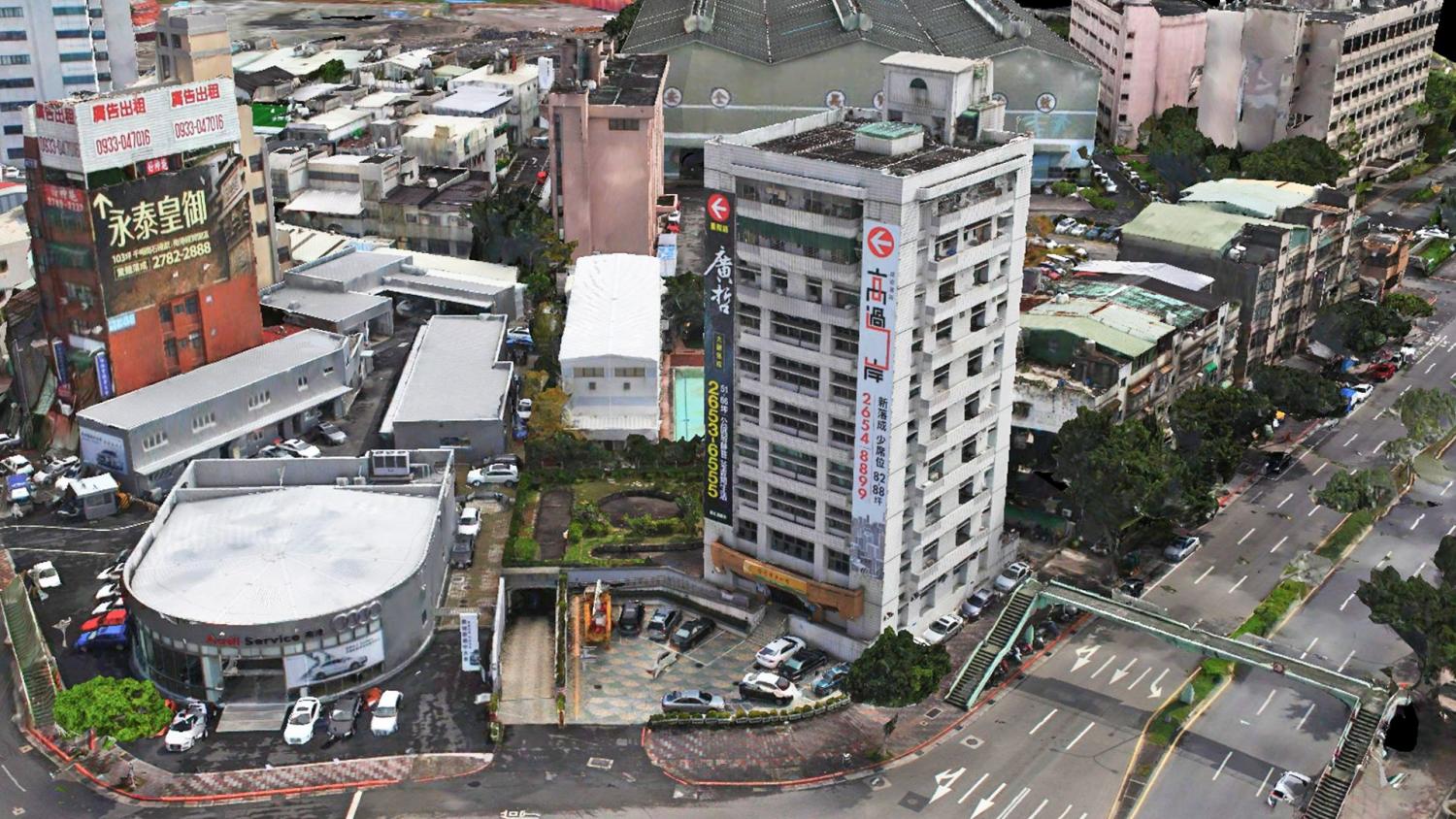
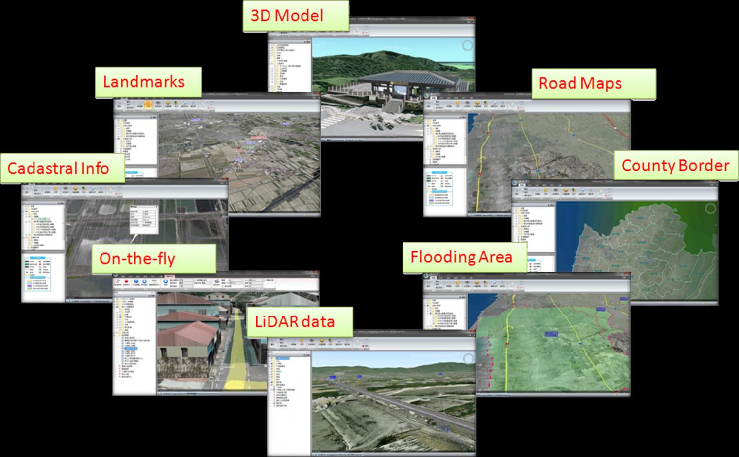
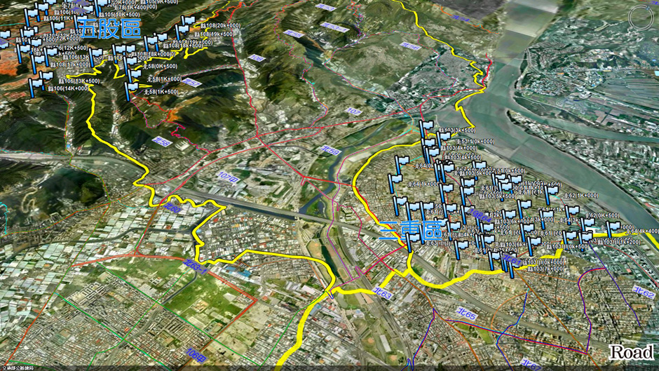
Skyline 3D GIS Platform
- Effective integration of all kinds of diverse topography information
- Powerful 3D Modelling
- Fully customizable interface to meet different user’s requirement
- Easy of integration of spatial information and 3D visualization data sources
- Terrain can be set transparent and edited for special analysis
- Able to perform climate and sunshine simulation
- Capable of combining features under the sea
Easy integration 3D LiDAR pointcloud
Special features
- Highly compatible interactive 3D information management tools
- Extensive support for business & project planningapplications
- Powerful and efficient tools for GIS data integration
- Data can be uploaded through CD-ROM or network to users
- Highly compatible interactive 3D information management software